Data sets from research projects that are available to download
Digital Elevation Models of Mars
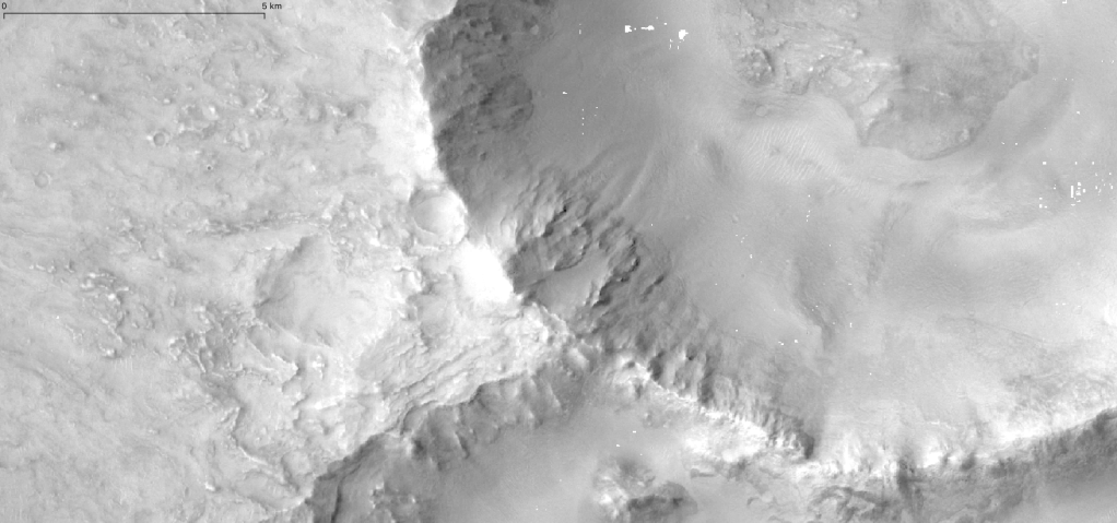
Dataset for “Stratigraphic Evidence for Early Martian Explosive Volcanism in Arabia Terra”
Seven Digital Elevation Models (DEMs) in the Arabia Terra region, Mars, were created using spatially overlapping images (i.e., “stereo images”) from the Context Camera (CTX) aboard the Mars Reconnaissance Orbiter (MRO).
LiDAR Data from New Mexico
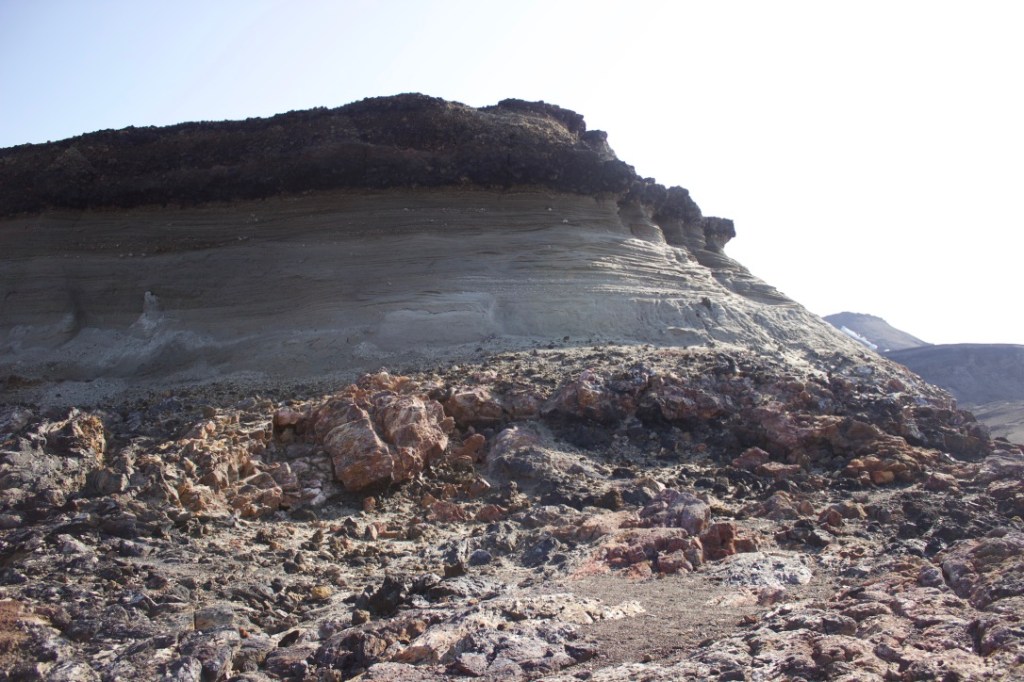
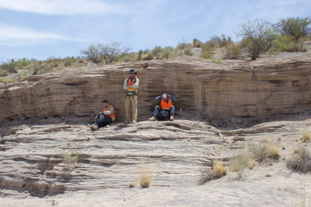
Terrestrial Scanning LiDAR of Kilbourne Hole Maar, Potrillo Volcanic Field, New Mexico
Archived are point clouds collected using the Goddard Instrument Filed Team’s Riegl VZ-400, a Terrestrial Scanning LiDAR of Maar surge beds
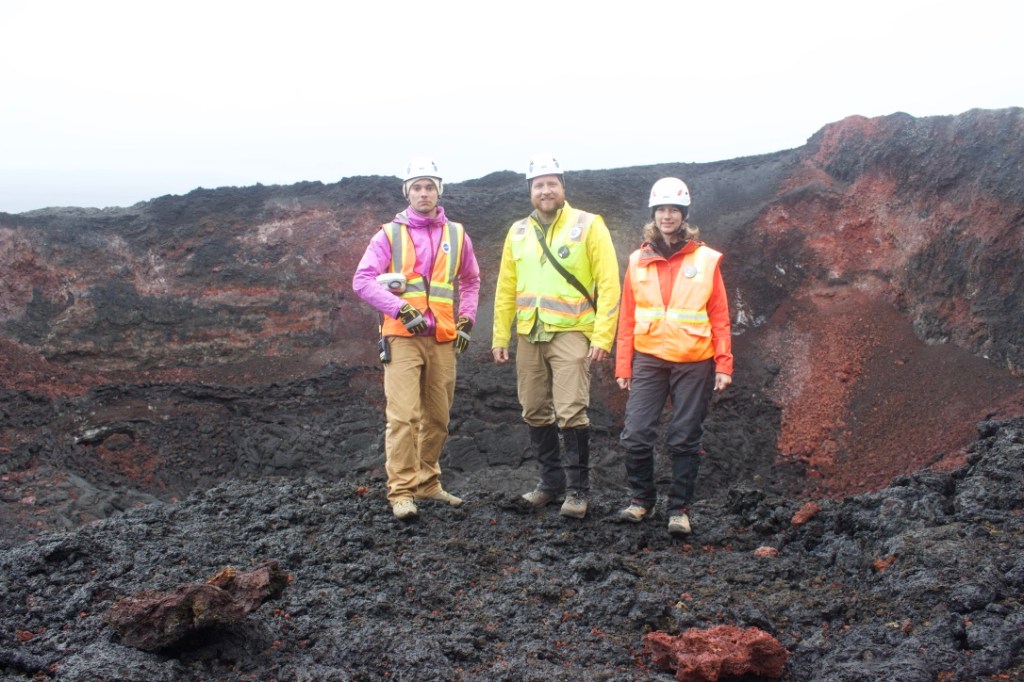
LiDAR Data from Iceland
NASA GIFT Iceland Highlands: 2015-2019 Baugur LiDAR
LiDAR scans taken using a tripod mounted Riegl VZ-400 scanning LiDAR of a volcanic vent.
NASA GIFT Iceland Highlands: 2019 Oskjuvatn LiDAR
LiDAR scans taken using a tripod mounted Riegl VZ-400 scanning LiDAR of a caldera wall.